We offer a wide range of engineering and consulting services, including:
OUR SERVICES
- Distribution System and Pipelines Survey
- Aerial Photograph & Satellite Image Interpretation and Reproduction
- Digital Photogrammetry
- GPS Surveying & Digital Mapping
- MIS & GIS Data Collecting
- GIS Data Structure & Application Design
- GIS Equipments, Software & Hardware Installation
- MIS & GIS Training
PROJECT EXPERIENCES
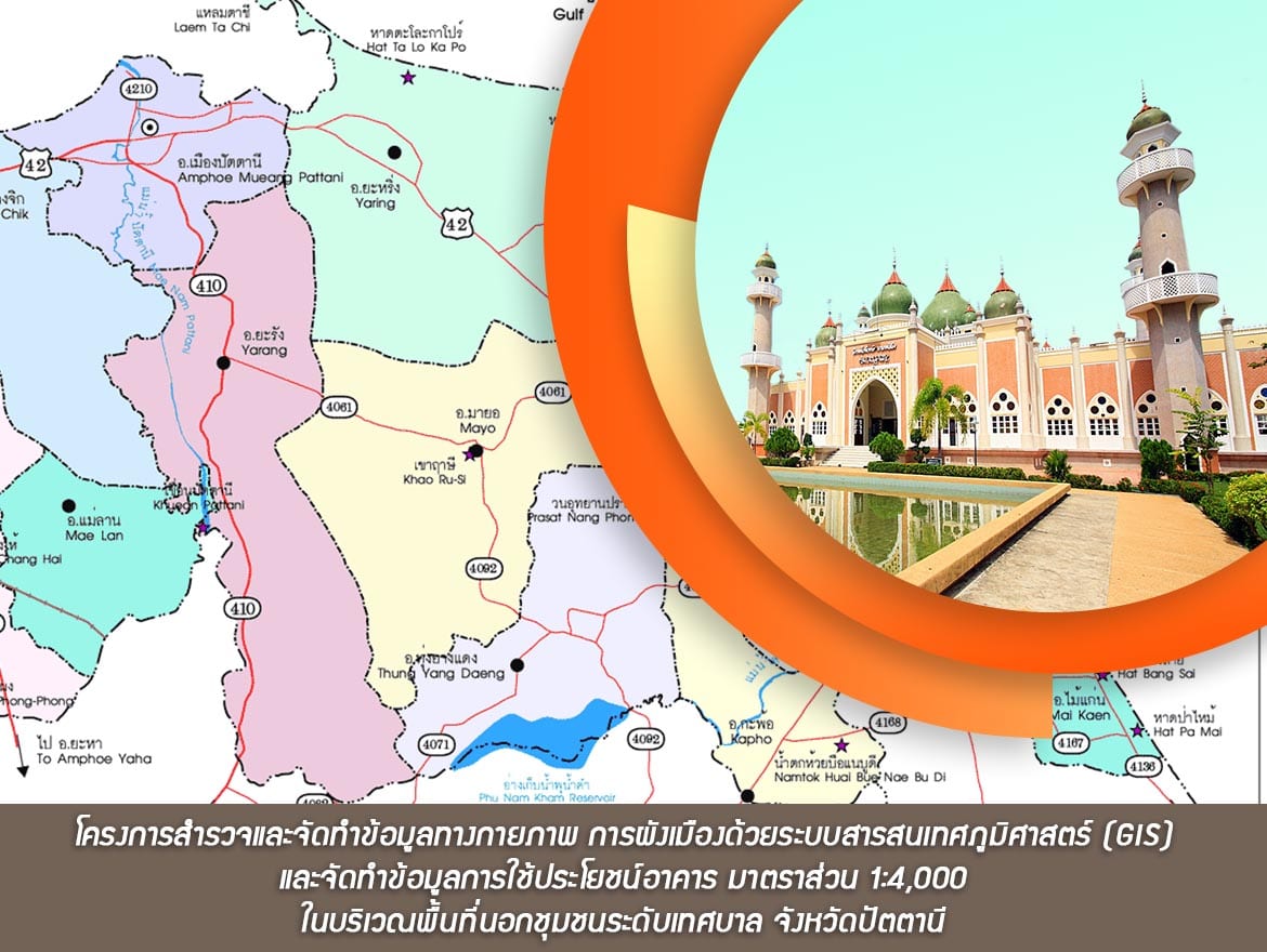
- โครงการสำรวจและจัดทำข้อมูลทางกายภาพ การผังเมืองด้วยระบบสารสนเทศภูมิศาสตร์ (GIS) และจัดทำข้อมูลการใช้ประโยชน์อาคาร มาตราส่วน 1:4,000 ในบริเวณพื้นที่นอกชุมชนระดับเทศบาล จังหวัดปัตตานี (Survey, Database Input 1:4000 scale GIS Map Base and the Building Data Collection outside the municipal area of Pattani Province)
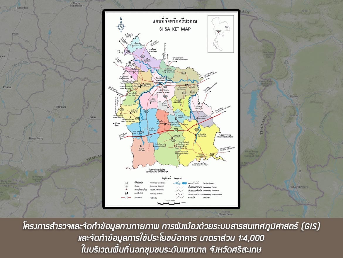
- โครงการสำรวจและจัดทำข้อมูลทางกายภาพ การผังเมืองด้วยระบบสารสนเทศภูมิศาสตร์ (GIS) และจัดทำข้อมูลการใช้ประโยชน์อาคาร มาตราส่วน 1:4,000 ในบริเวณพื้นที่นอกชุมชนระดับเทศบาล จังหวัดศรีสะเกษ (Survey, Database Input 1:4000 scale GIS Map Base and the Building Data Collection outside the municipal area of Sisaket Province)
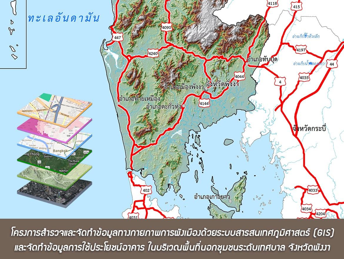
- โครงการสำรวจและจัดทำข้อมูลทางกายภาพการผังเมืองด้วยระบบสารสนเทศภูมิศาสตร์ (GIS) และจัดทำข้อมูลการใช้ประโยชน์อาคารมาตราส่วน 1:4,000 ในบริเวณพื้นที่นอกชุมชนระดับเทศบาล จังหวัดพังงา (Survey, Database Input 1:4000 scale GIS Map Base and the Building Data Collection outside the municipal area of Pang Nga Province)
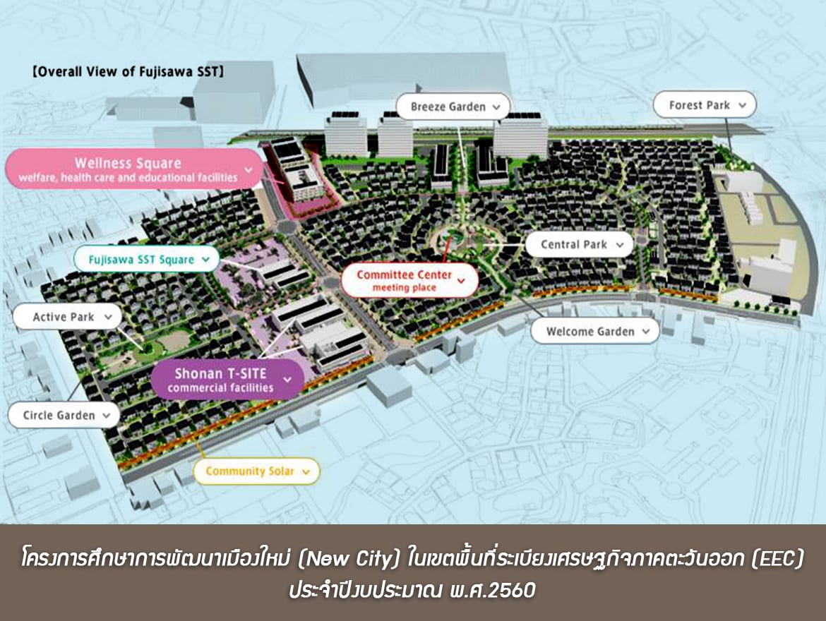
- โครงการศึกษาการพัฒนาเมืองใหม่ (New City)ในเขตพื้นที่ระเบียงเศรษฐกิจภาคตะวันออก (EEC) ประจำปีงบประมาณ พ.ศ.2560 (Master Plan Study for the New City and Smart City in the Eastern Economic Corridor Provinces)
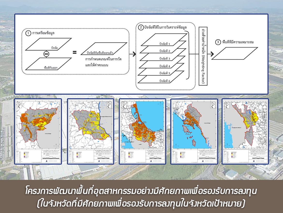
- โครงการพัฒนาพื้นที่อุตสาหกรรมอย่างมีศักยภาพเพื่อรองรับการลงทุน (ในจังหวัดที่มีศักยภาพเพื่อรองรับการลงทุนในจังหวัดเป้าหมาย) (Effective Industrial Area Planning to support investment)
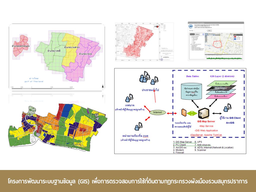
- โครงการพัฒนาระบบฐานข้อมูล (GIS) เพื่อการตรวจสอบการใช้ที่ดินตามกฎกระทรวงผังเมืองรวมสมุทรปราการ (GIS Database Development for Inspection of Land Use according to Samutprakarn Comprehensive Plan, Phase 2, 2013 (Samutprakarn Provincial Administration Organization))
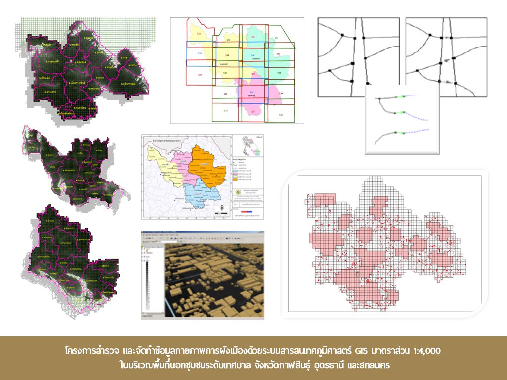
- โครงการสำรวจและจัดทำข้อมูลกายภาพการผังเมืองด้วยระบบสารสนเทศภูมิศาสตร์ GIS มาตราส่วน 1:4,000 ในบริเวณพื้นที่นอกชุมชนระดับเทศบาล จังหวัดกาฬสินธุ์ อุดรธานี และสกลนคร (Survey and Database Input 1:4000 scale Map Design for the Outer Municipal Area of Kalasin, Udon Thani and Sakon Nakhon provinces)
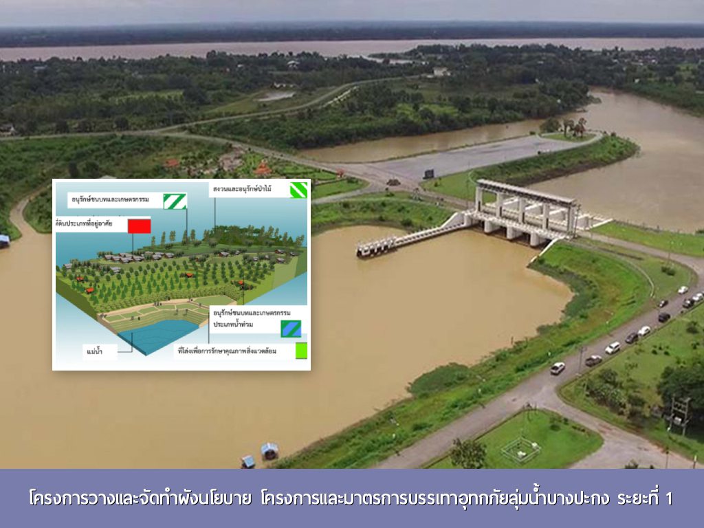
- โครงการวางและจัดทำผังนโยบาย โครงการและมาตรการบรรเทาอุทกภัยลุ่มน้ำบางปะกง ระยะที่ 1 (Bang Pakong Basin Policy Planning and Flood Mitigation Measures, Phase 1)
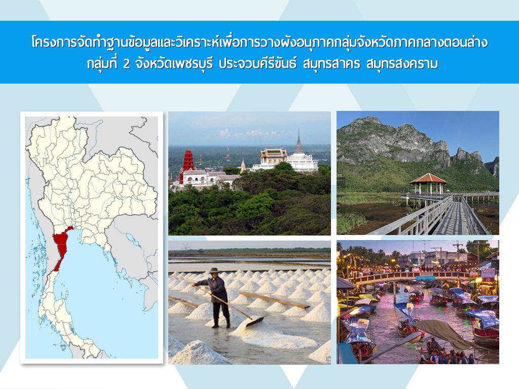
- โครงการจัดทำฐานข้อมูลและวิเคราะห์เพื่อการวางผังอนุภาคกลุ่มจังหวัดภาคกลางตอนล่าง กลุ่มที่ 2 จังหวัดเพชรบุรี ประจวบคีรีขันธ์ สมุทรสาคร สมุทรสงคราม (Sub-Regional Plan for Petchaburi, Prachubkhirikhan, Samutsongkram and Samutsakhon, Dept. of Public Works and Town & Country Planning)

